Perché fare una mappatura?

Un passo, anche se non definitivo, verso l’unificazione di queste lotte consiste nel concentrare gli sforzi su quei momenti di distruzione creatrice in cui l’economia dell’accumulazione di ricchezza poggia violentemente sull’economia dell’espropriazione, e a quel punto proclamare il diritto alla città da parte degli espropriati: il diritto di cambiare il mondo, di cambiare vita, di reinventare la città in funzione dei loro desideri.
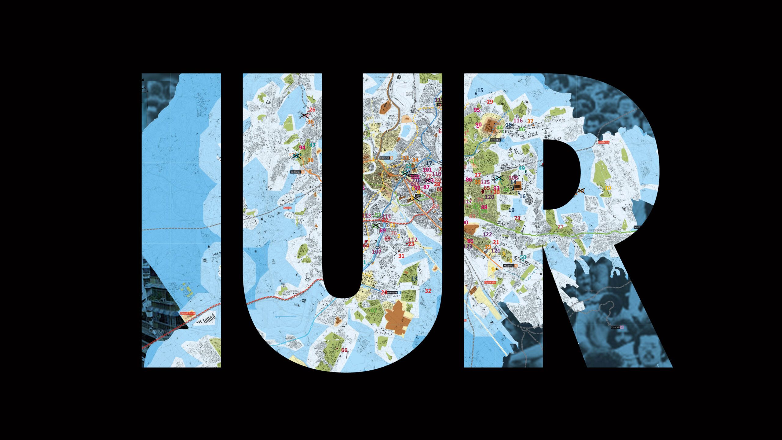
The I.U.R. – Informa Urbis Romae project began in the autumn of 2016. We came together to share our skills and create the first map of housing occupations in the city of Rome. The project’s name recalls Lanciani’s cartographic work on ancient Rome and introduces its political and social function: to inform and communicate the state of things with a view to their redefinition. The main goal of this project is to self-represent the spaces in which we live and act, in order to reclaim a vision of our city and neighborhoods that is not left solely to top-down narratives, from the media or the police.
The maps of occupied, liberated, and self-managed spaces in Rome are like snapshots that provide an overview of what exists hic et nunc. They are documents that record social processes, struggles, choices made, and attacks endured. But they are also tools to continue narrating ongoing transformations: what is born and what dies, what is destroyed and what changes. The information we chose to include conveys a perspective necessarily imbued with values, culture, and politics. We are not the sole authors of this work. Everyone has contributed to the creation of something that, in addition to being distributed for benefit and self-financing purposes, is meant as a tool for sharing. Resistance and the defense of the territories we inhabit depend on knowledge and on the ability to reclaim them.
Contacts
iurmap@gmail.com
SEGUICI SU INSTAGRAM
iurmap_psicogeografie
iurmap_psicogeografie
